
Review an imported dataset
GIS files
A generic GIS import creates one Other Land dataset with child layers and individual features.
Walkthrough paused.
Follow the written steps or select Play walkthrough to watch the example.
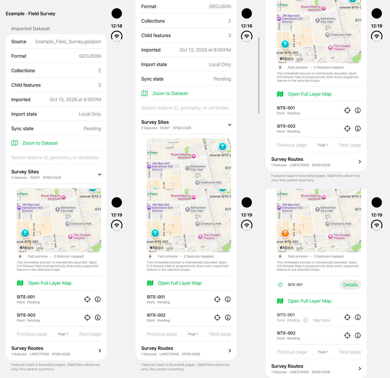
iPhone Duo: expand an example imported GeoJSON dataset layer and inspect a feature on its preview map. The fictional dataset is local only and pending synchronization; no file import, archive export or completed synchronization is demonstrated.Open the looping GIF
Follow along
One step at a time.
A generic GIS import creates one Other Land dataset with child layers and individual features.
Start Import Land Data
Open Lands → More Land Actions → Import Land Data and select a supported file.
Review supported content
Choose the feature collections or candidates offered by the relevant import screen.
Import to Other Lands
Complete the supported import and inspect warnings or skipped features.
Inspect the hierarchy
Open the parent dataset, then review child layers, individual geometry and attributes.