
Import and export Shapefiles
GIS files
Keep geometry, attributes and coordinate context together when exchanging a Shapefile dataset.
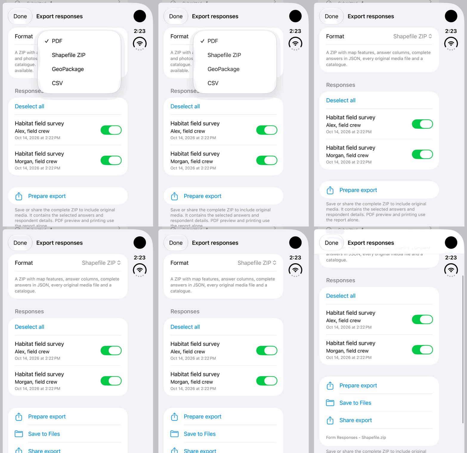
Walkthrough paused.
Follow the written steps or select Play walkthrough to watch the example.
Example: export survey-form responses as Shapefile ZIP. The native app prepares the fictional responses locally; keep the ZIP complete. Saving, sharing and land import are covered in the written steps rather than shown here.Open the looping GIF
Follow along
One step at a time.
Keep geometry, attributes and coordinate context together when exchanging a Shapefile dataset.
Choose the source
In Lands, open More Land Actions → Import Land Data. Select a supported Shapefile ZIP, or select matching loose components together. Import one logical dataset at a time.
Review the destination
In Import Shapefile, check Destination: Other Lands, then tap Import. The workflow creates one dataset; it does not infer Wetland or Traditional Knowledge records.
Check the result
Open the imported Other Land dataset. Inspect its child layers, feature positions and attributes. Review any warnings or skipped features before relying on the result.
Export a complete copy
Open the record → Export Data and Share → Export → Export Shapefile. Imported datasets use Export Complete Shapefile ZIP. Save through Files and keep the whole package.