
Import and export Vector GeoPDF
GIS files
Vector GeoPDF combines drawn map features with geographic context. Review supported candidates before importing.
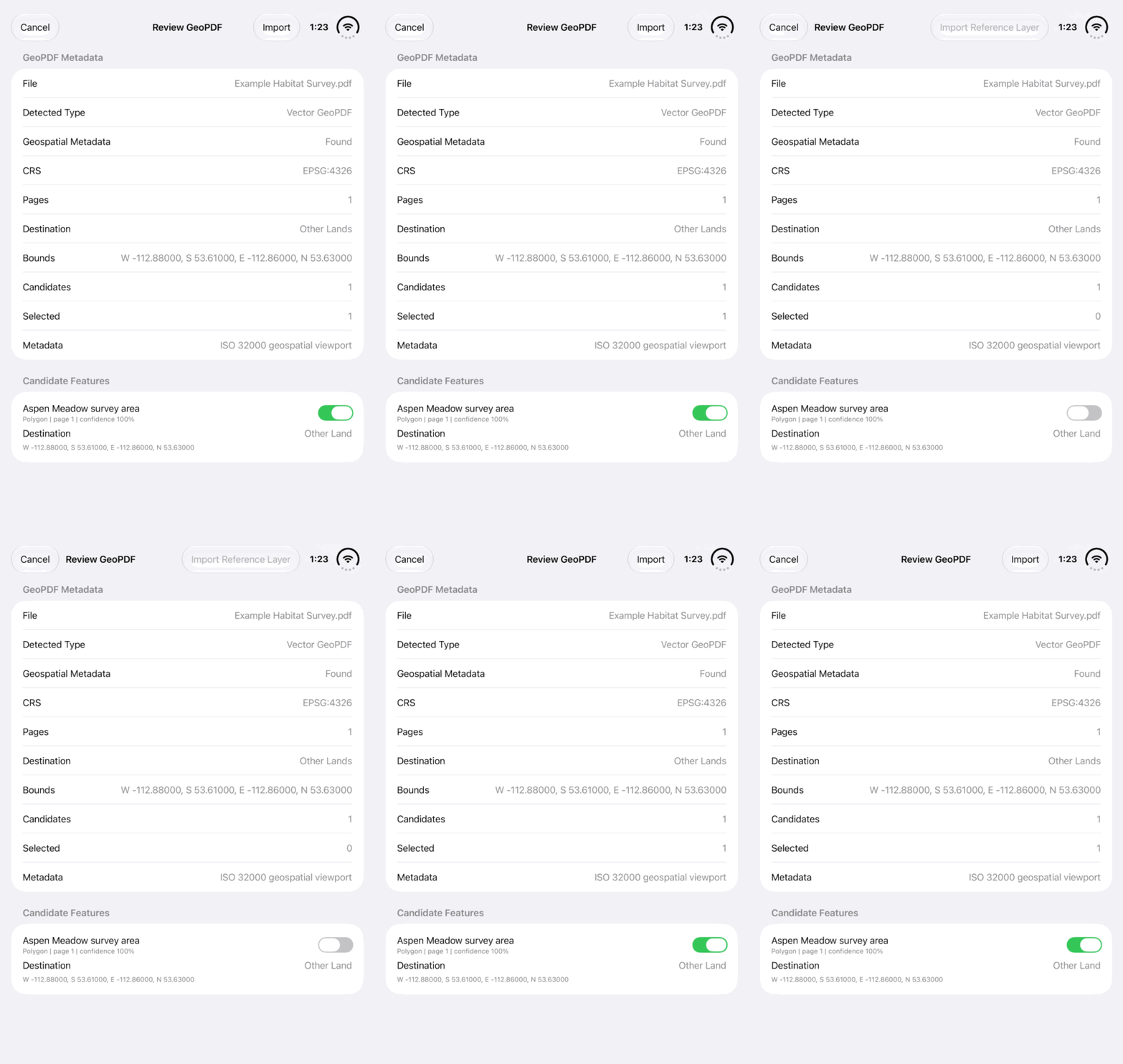
Walkthrough paused.
Follow the written steps or select Play walkthrough to watch the example.
Watch a vector candidate selection change in Review GeoPDF. Follow the steps to verify coordinates, choose features and complete your import.Open the looping GIF
Follow along
One step at a time.
Vector GeoPDF combines drawn map features with geographic context. Review supported candidates before importing.
Export the geographic map
Open a land record → Export Data and Share → Export → Vector GeoPDF. An imported dataset uses Export Complete Vector GeoPDF Package. Keep the package and companions.
Bring a supported file back
Open Lands → More Land Actions → Import Land Data and choose the GeoPDF. Wait for Review GeoPDF.
Review before importing
Check Detected Type, Geospatial Metadata, CRS, Bounds and Validation Notes. If Candidate Features are available, review their confidence and select the required supported features.
Import and inspect
Tap Import when editable candidates are supported. Open the Other Land result and check its position and attributes. For detailed dataset exchange, retain the companion GeoPackage where included.