
Explore Boreal Caribou Range
Environmental layers
The range layer supplies landscape context. It does not track individual animals or establish current occupancy.
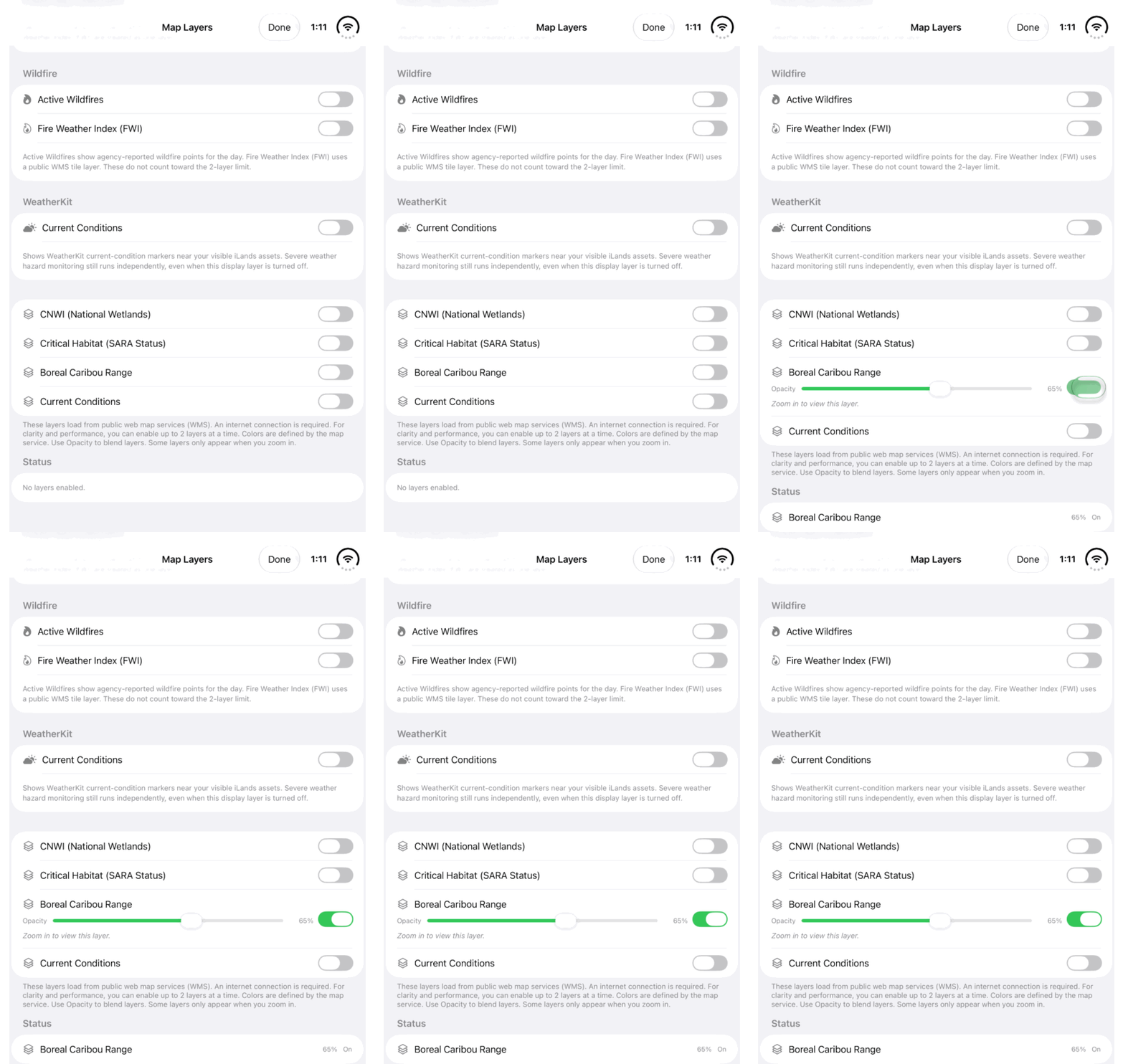
Walkthrough paused.
Follow the written steps or select Play walkthrough to watch the example.
Watch the Boreal Caribou Range switch in Map Layers. Follow the steps to explore the public layer with its source context.Open the looping GIF
Follow along
One step at a time.
The range layer supplies landscape context. It does not track individual animals or establish current occupancy.
Choose the layer
Open Map Layers and enable Boreal Caribou Range. Use the actual public-layer name.
Find useful context
Zoom in where required and adjust Opacity. Look at how the published range sits around the area you are studying.
Inspect a published result
Where identification is supported, inspect the range name or identifier and available source information. Keep that context with your observations.
Compare with your records
Compare the range with recorded field locations and relevant observations. Follow the appropriate public recovery documents for interpretation; do not treat the layer as live animal tracking.