
Choose the map for each response
Forms
Choose between a respondent GPS point and an author-defined static shape.
Walkthrough paused.
Follow the written steps or select Play walkthrough to watch the example.
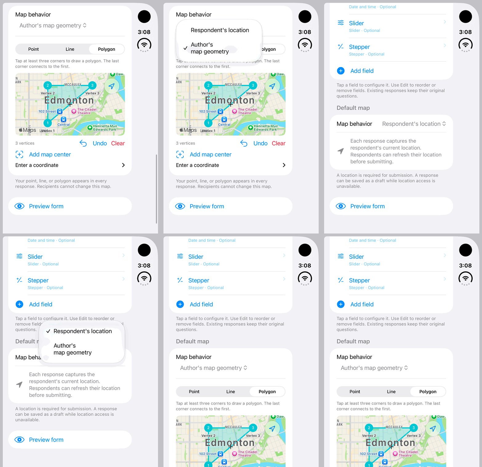
iPhone Duo: compare Respondent’s location with Author’s map geometry. The map and form are fictional local examples; no configuration is saved.Open the looping GIF
Follow along
One step at a time.
Choose between a respondent GPS point and an author-defined static shape.
Open Default map
Use the form builder’s Default map section.
Choose Respondent’s location
Use this for a GPS point captured by the respondent. The respondent can use Capture my location or Refresh my location.
Or choose Author’s map geometry
Select Point, Line or Polygon. Add positions by tapping the map, Add map center or manual coordinates; use Undo and Clear as needed.
Save and preview
Review the form’s map. Author-defined geometry stays fixed for recipients.