
Explore Species at Risk map context
Environmental layers
Use the Critical Habitat (SARA Status) layer for published species and habitat context. The app does not have a separate SARA-only toggle.
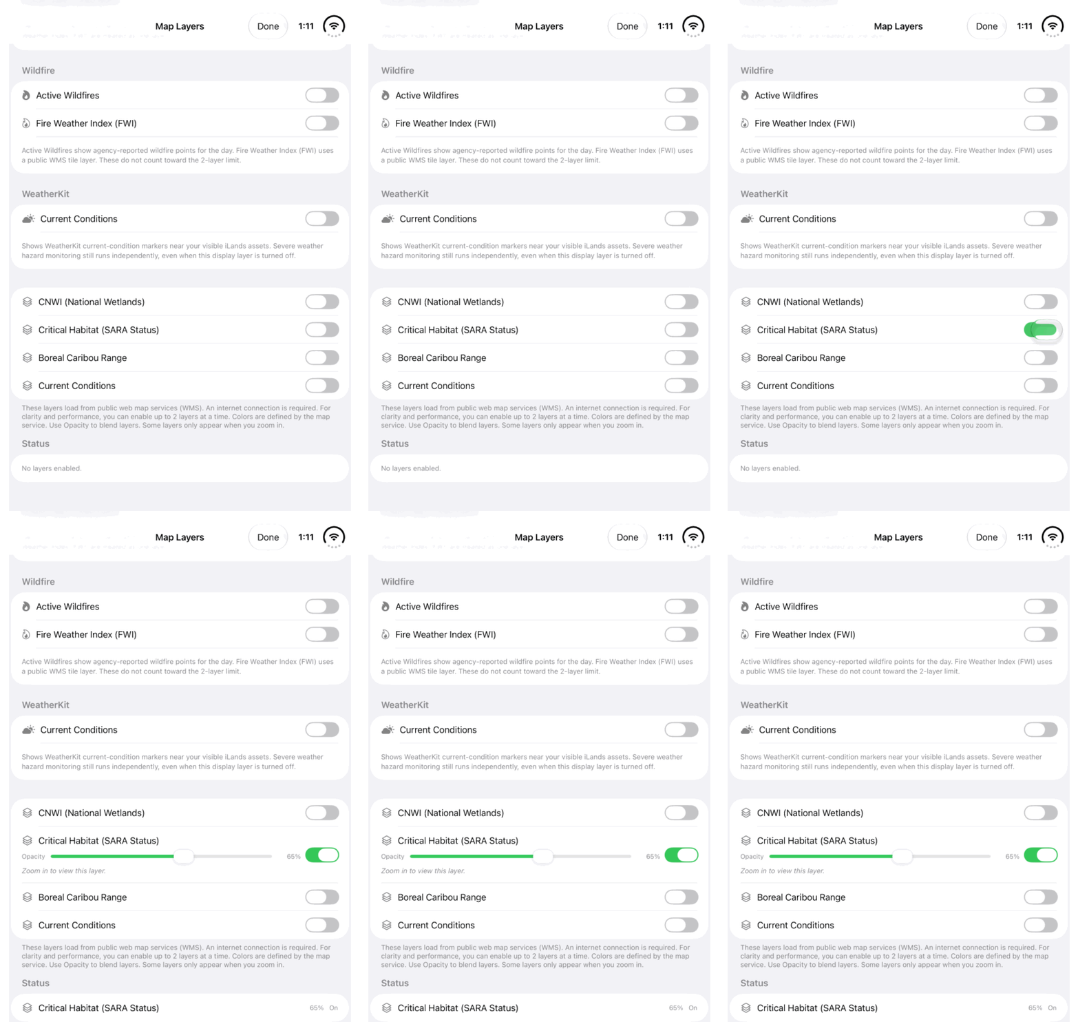
Walkthrough paused.
Follow the written steps or select Play walkthrough to watch the example.
Watch the Critical Habitat (SARA Status) switch used in this guide. The written steps explain how to read this public layer alongside species-at-risk information.Open the looping GIF
Follow along
One step at a time.
Use the Critical Habitat (SARA Status) layer for published species and habitat context. The app does not have a separate SARA-only toggle.
Open geographic context
In iLands, open Map Layers. The relevant public overlay is named Critical Habitat (SARA Status). There is no separate SARA toggle in this workflow.
Explore the published layer
Enable Critical Habitat (SARA Status). Zoom in where required and use Opacity to compare it with the map. Internet access is needed for the public service.
Read the available context
Where a layer result is available, inspect its species/status and source information. A mapped category is a starting point for understanding the published record.
Check the official record
Use the Species at Risk Public Registry to confirm the species record and relevant documents. Scientific assessments, legal listing and habitat information should be read in their proper context.