
View Active Wildfires
Environmental layers
Show agency-reported fire points and inspect their source and timing. A point is different from a complete fire perimeter.
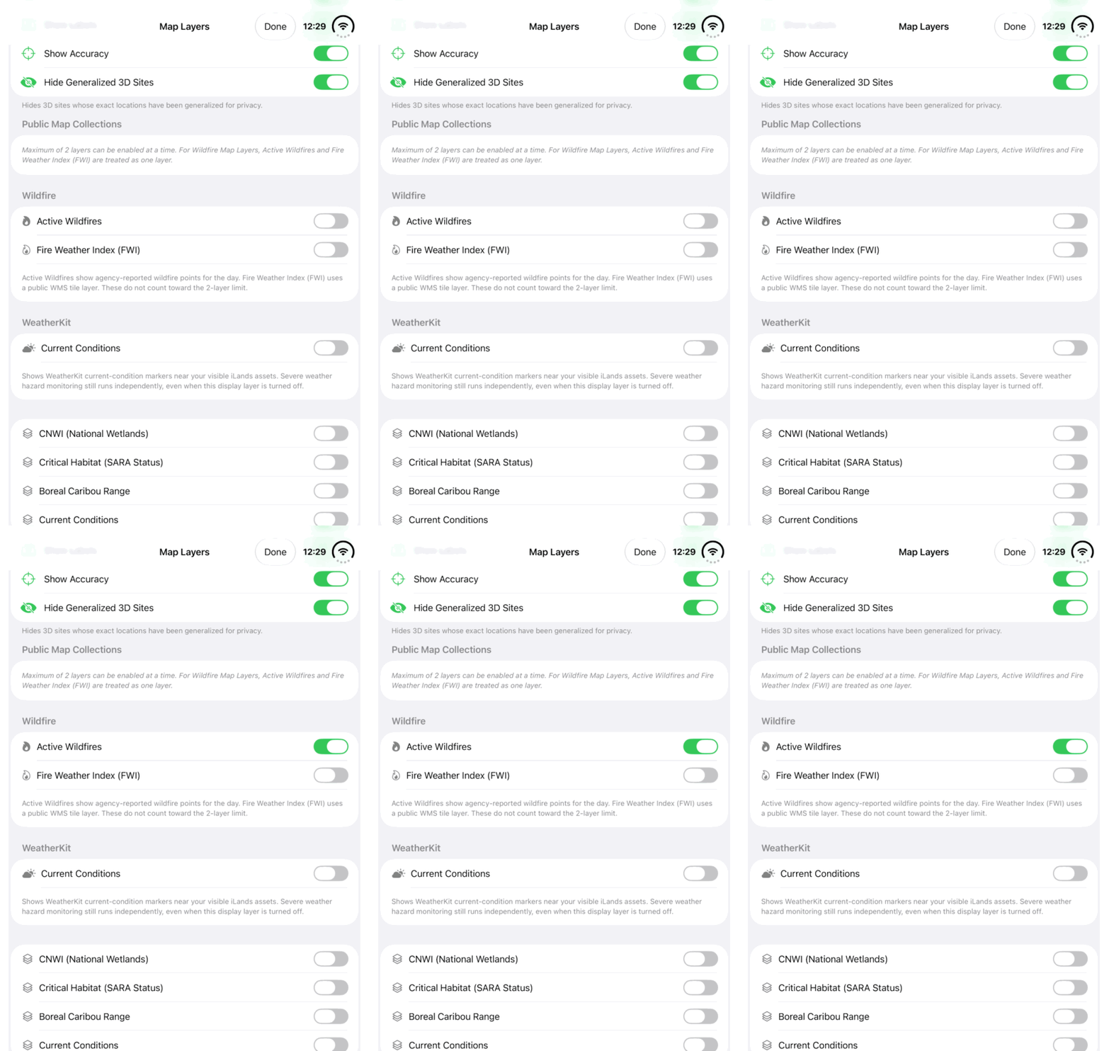
Walkthrough paused.
Use Play walkthrough to watch the example. The written steps are always available.
Watch the Active Wildfires switch in Map Layers. Follow the steps to check the source information for the area you monitor.Open the looping GIF for View Active Wildfires
Follow along
One step at a time.
Show agency-reported fire points and inspect their source and timing. A point is different from a complete fire perimeter.
Show the agency records
Open Map Layers and enable Active Wildfires. The iLands control shows agency-reported fire points for the day.
Inspect an available point
Select a supported fire record and review its available source, location and timing information. Keep a historical or demonstration example clearly labelled.
Check monitored-land context
Open Hazards, refresh and choose the Wildfire and relevant land/date filters. Tap Go, then inspect the alert’s monitored asset and available provider details.
Consult the current source
Check the relevant official fire-management agency for current information. Use the map to understand context without treating a point as a complete current fire boundary.