
How to turn on Fire Weather Index
Environmental layers
Fire Weather Index describes weather-related fire conditions. It is a different signal from an agency-reported active fire.
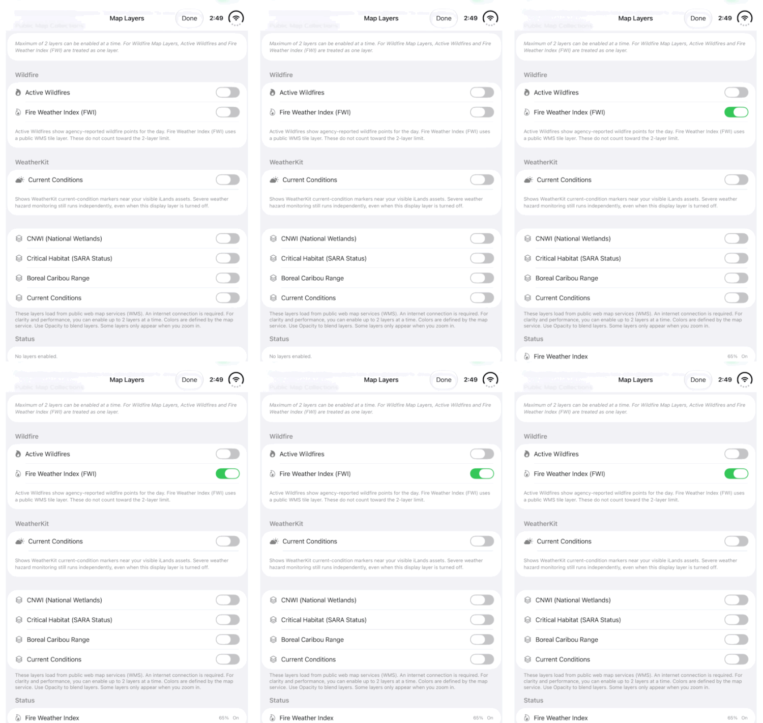
Walkthrough paused.
Follow the written steps or select Play walkthrough to watch the example.
Watch the FWI switch in Map Layers, then follow the steps to check your chosen area. This example shows the real iPhone Duo app interface.Open the looping GIF
Follow along
One step at a time.
Fire Weather Index describes weather-related fire conditions. It is a different signal from an agency-reported active fire.
Locate the monitored site
Find the relevant recorded land or camera. Check its saved coordinates; the monitored site can be far from the device you are holding.
Turn on the layer
Open Map Layers and enable Fire Weather Index (FWI). Public source layers need internet. Read any available layer context.
Inspect the available result
Where identification is supported, inspect the map result and its reported values or rating. Use the supplied labels and source context; do not infer an actual fire from the colour.
Review monitored alerts
Open Hazards, refresh and inspect relevant monitored-asset alerts. Check source and time. Compare with Active Wildfires when investigating an agency-reported fire.