
Create and maintain a wetland record
Land records
Keep field observations, geometry and permitted media together, then review the context behind any app-generated indicators.
Walkthrough paused.
Follow the written steps or select Play walkthrough to watch the example.
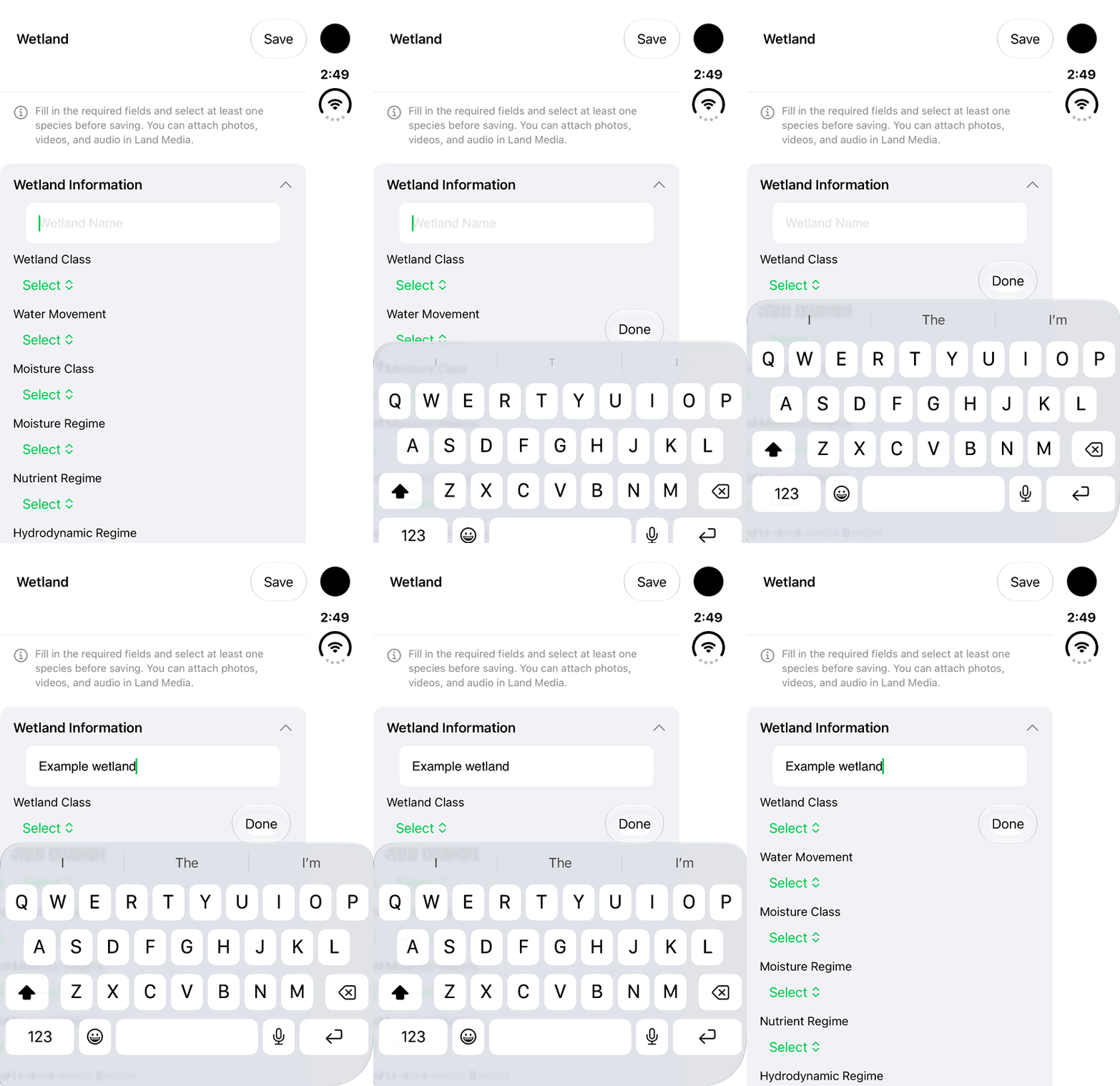
Start a Wetland draft by entering its name. This fictional example shows name entry only; classification, species and saving are explained in the written steps.Open the looping GIF
Follow along
One step at a time.
Keep field observations, geometry and permitted media together, then review the context behind any app-generated indicators.
Start with the site
Wetlands do not always look like open water. Note the observed conditions and visit context. Open Lands → Add Land → Wetland.
Choose the appropriate geometry
Use Location for a representative position, Line for a linear observation, or Area for a boundary. Add points, review the shape and finish the geometry.
Describe what you observed
Enter Wetland Name and observed values for Wetland Class, Water Movement and Moisture Regime. Complete required fields and select at least one observed species. Explain uncertainty in Notes.
Keep the evidence together
Attach permitted Land Media, review the notes and geometry, then Save. Reopen the record from Lands to check that its observations and media are understandable.
Read the indicator explanations
In details, open Wetland Health, Fire Susceptibility and Carbon Storage explanations. Understand how each indicator is derived before using it in discussion or reporting.
Maintain and share deliberately
Use Edit Information where permitted to revise the record. The owner can manage Share Access. For a separate report or GIS copy, use Generate Report or Export Data and Share.