
Explore the national wetlands layer
Environmental layers
Compare your own field records with publicly supplied wetlands map context.
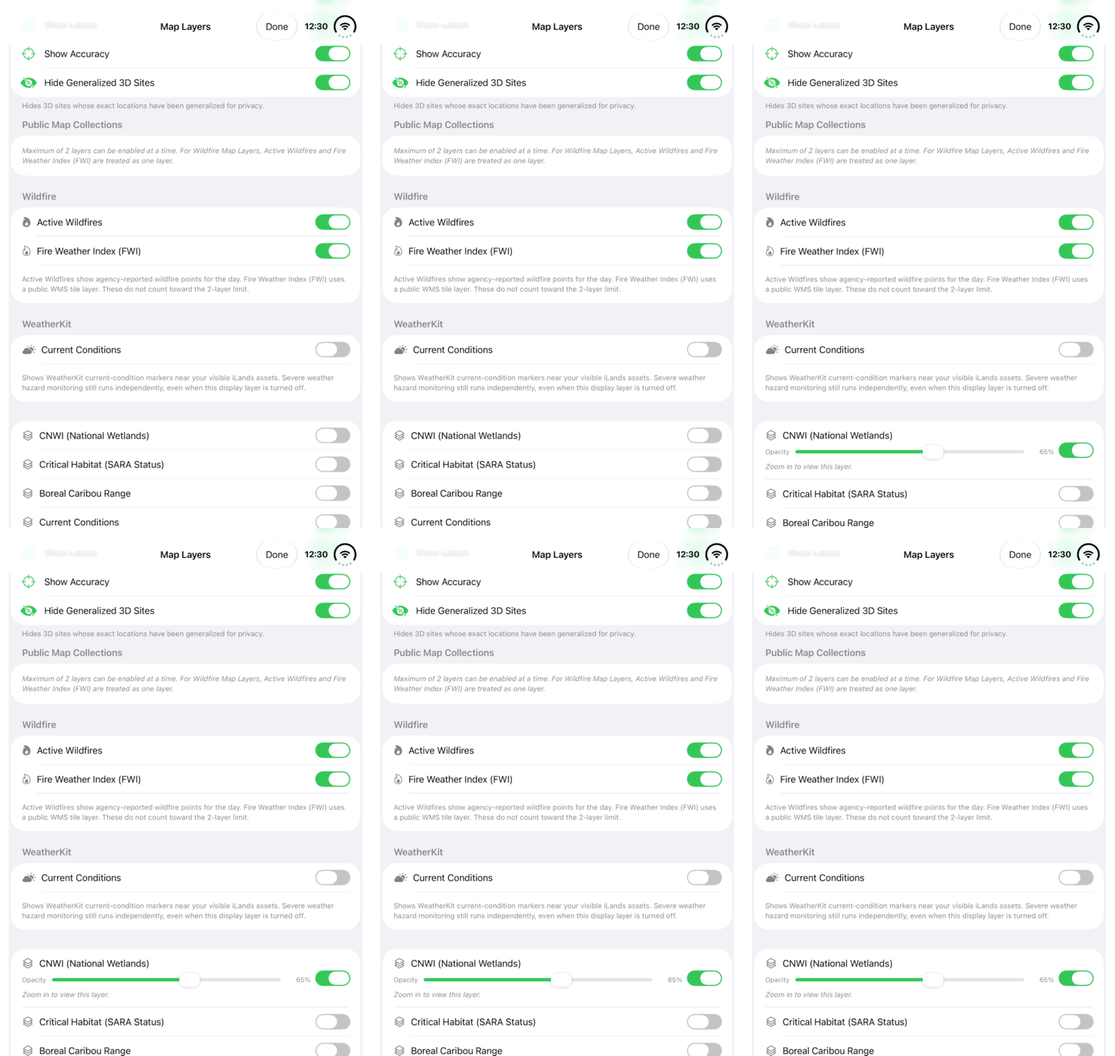
Walkthrough paused.
Follow the written steps or select Play walkthrough to watch the example.
Watch the National Wetlands switch in Map Layers. Follow the steps to read the public layer in context.Open the looping GIF
Follow along
One step at a time.
Compare your own field records with publicly supplied wetlands map context.
Open Map Layers
Open the map layer sheet.
Enable CNWI (National Wetlands)
Choose the public layer named CNWI (National Wetlands).
Adjust the view
Zoom closer where required and adjust Opacity to compare the published map with the background.
Review the context
Inspect available layer information and compare it with the saved field site and visit observations.