
Style land records
Land records
Readable symbols, lines and areas help distinguish related observations on the map.
Walkthrough paused.
Follow the written steps or select Play walkthrough to watch the example.
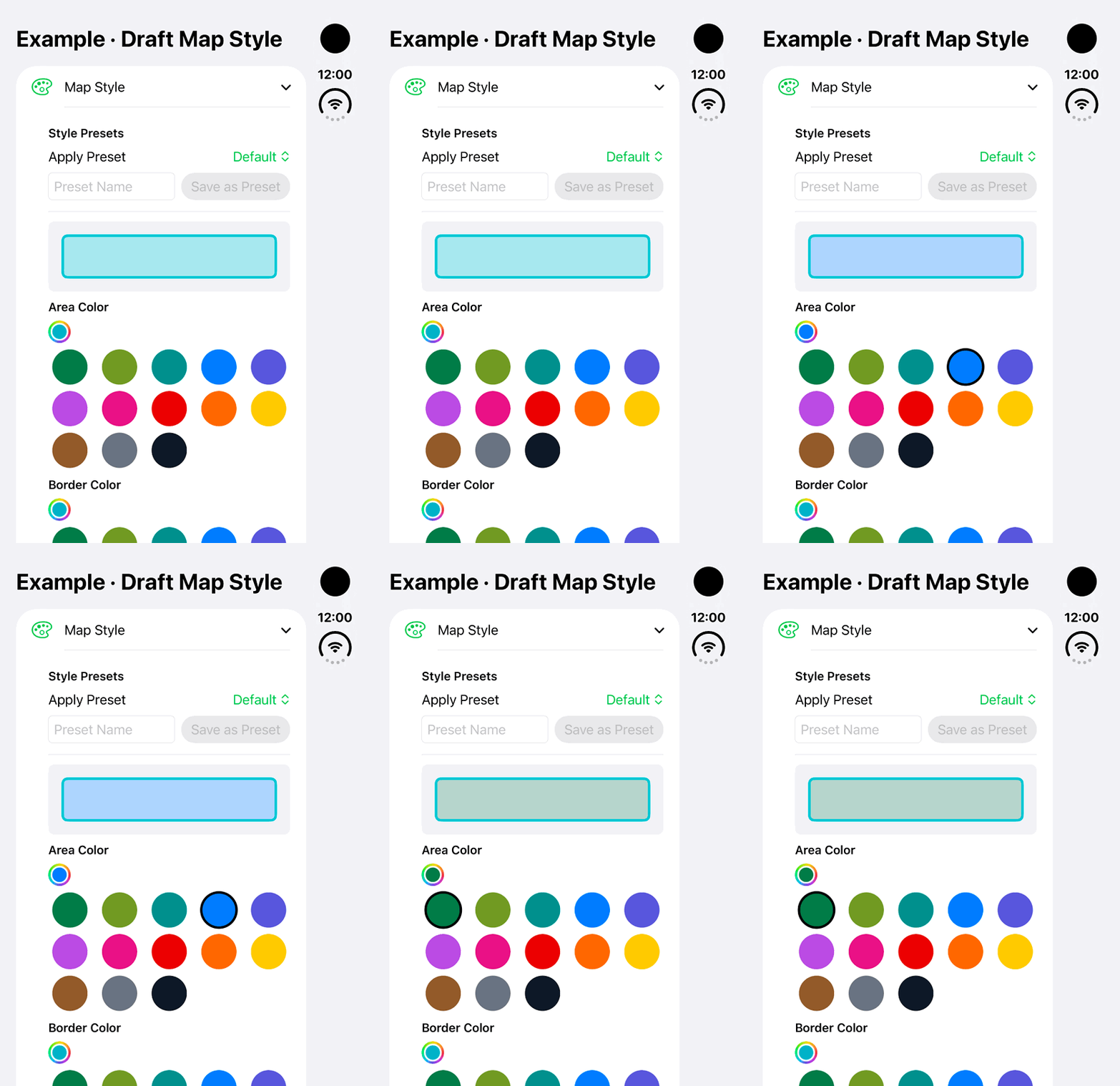
iPhone Duo: change and restore the Area Color in a fictional local Map Style draft. No preset or land-record style is saved.Open the looping GIF
Follow along
One step at a time.
Readable symbols, lines and areas help distinguish related observations on the map.
Open Map Style
Open the record’s Map Style control where available.
Choose the appearance
Set the point symbol, colors and line or area styling appropriate to its geometry.
Reuse a preset
Save a style preset and apply it to related records when useful.
Review the map
Inspect the result, or choose Reset to Default for the standard appearance.