
Environmental Science, Redefined
Environmental science has long been locked behind complex tools, fragmented workflows, and delayed insights. iLands changes that.
We bring environmental intelligence directly to the field—transforming raw observations into clear, actionable insights in real time. Whether you’re documenting wildlife, analyzing land conditions, or preserving cultural knowledge, iLands makes it possible to understand what the land is telling you—without needing to be a GIS expert.
Built for real-world conditions, iLands bridges science, technology, and stewardship—empowering faster, smarter decisions where they matter most: on the land itself.
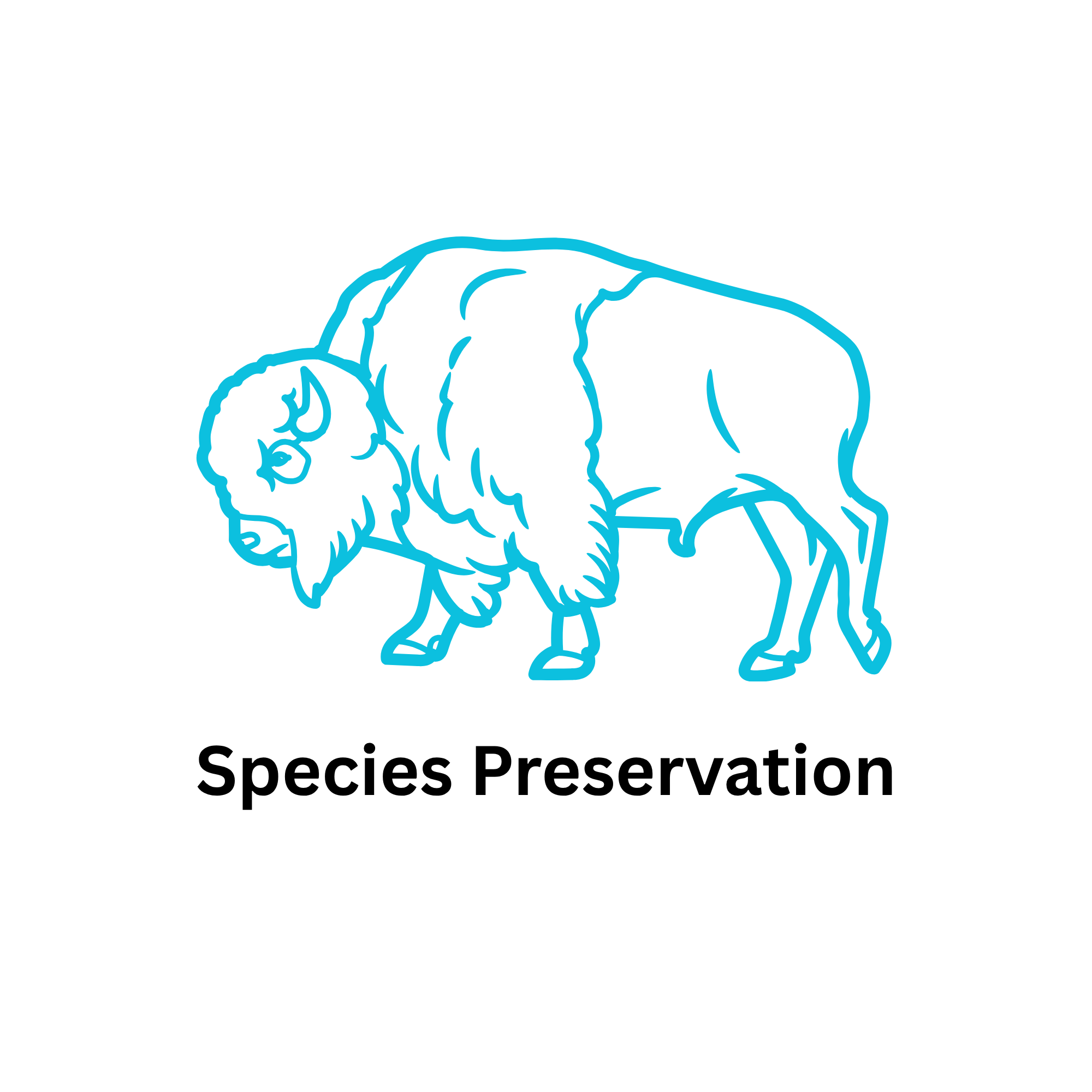
Protecting species starts with seeing what others miss.
iLands enables continuous wildlife monitoring through integrated field cameras and AI-powered image filtering, helping users quickly identify meaningful activity without sorting through thousands of empty captures. What once took days of manual review becomes immediate, focused insight.
By turning wildlife observations into structured, location-aware data, iLands helps track patterns, detect changes in habitat use, and support conservation efforts with evidence—not assumptions. The result is a more responsive and data-driven approach to protecting biodiversity in rapidly changing environments.
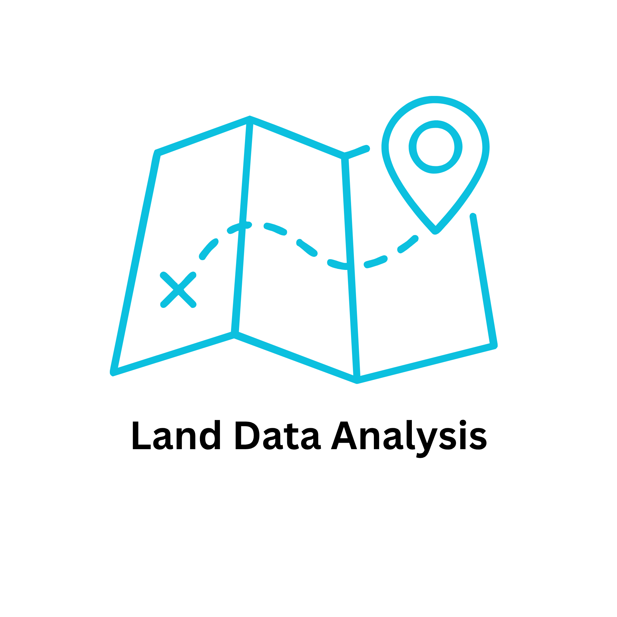
Understanding the land shouldn’t require layers of complexity.
iLands simplifies environmental analysis by combining field data capture with built-in intelligence. As data is collected, the platform automatically translates it into clear indicators such as wetland health, fire susceptibility, and carbon storage potential—turning raw inputs into meaningful insights on the spot.
With integrated map layers and visual context, users can see how their observations connect to broader environmental conditions. This enables faster decision-making, stronger reporting, and a clearer understanding of land dynamics—without the need for specialized GIS workflows.
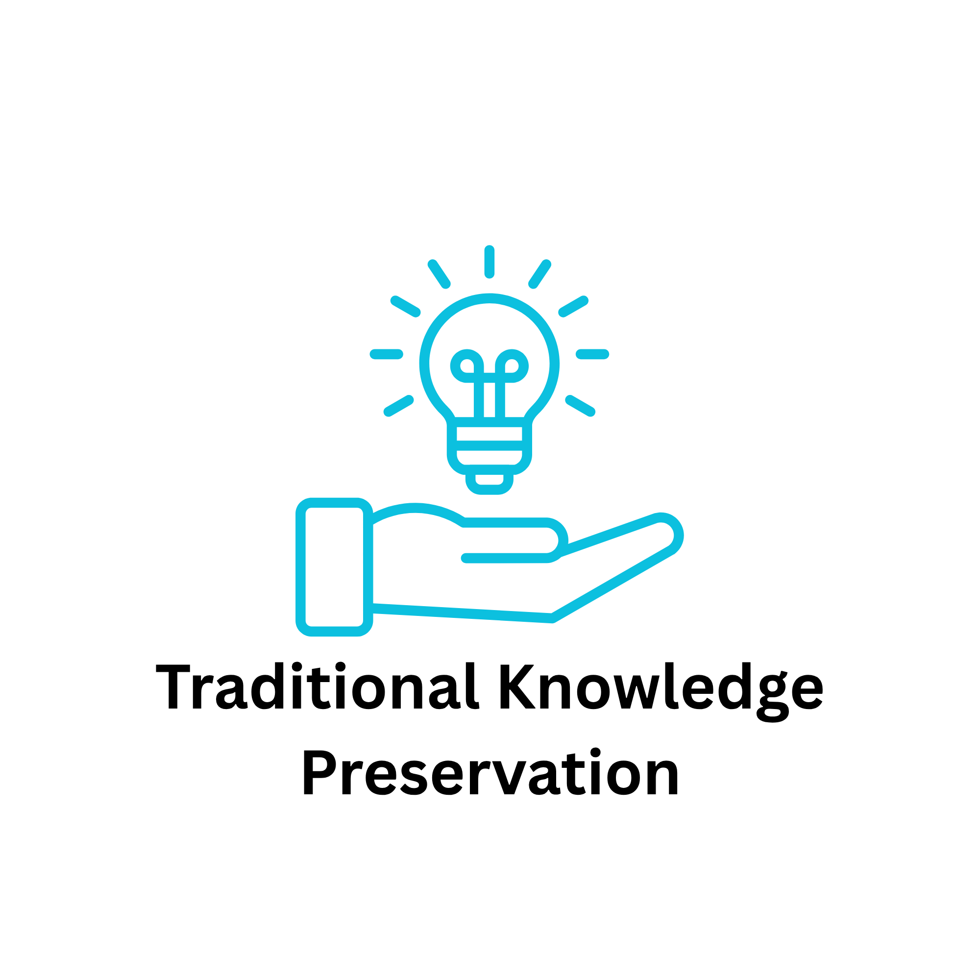
The most valuable knowledge about the land has always come from those who live with it.
iLands creates a space where traditional knowledge can be documented alongside scientific data—capturing land use, cultural insights, and community observations in a structured, secure, and respectful way.
By integrating this knowledge into modern environmental workflows, iLands helps ensure it is not only preserved, but actively used in decision-making. This strengthens community-led stewardship and supports a more holistic approach to land management—where data and tradition work together, not separately.