Listen to the Land
“Listen to the Land” is more than a slogan—it reflects how iLands transforms the way environmental data is gathered, understood, and acted upon. Instead of relying on fragmented, paper-based methods or complex GIS workflows, iLands enables users to capture structured, real-time observations directly from the field—whether it’s wetlands, wildlife, or habitat conditions—and convert them into meaningful insights instantly. By combining geotagged data, images, and environmental attributes within a single platform, the app ensures that every detail collected is part of a larger, coherent story the land is telling.
Through built-in environmental intelligence, iLands goes beyond data collection—it interprets what the land is saying. With scoring models such as Wetland Health, Fire Susceptibility, and Carbon Storage Index, alongside AI-powered image filtering from field cameras, users gain a clearer, data-driven understanding of environmental conditions in real time. Even in the most remote locations, the app’s offline-first capability ensures that nothing is missed, allowing users to continue listening—without interruption—until connectivity returns and insights can be shared seamlessly.
At its core, “Listen to the Land” also represents a deeper commitment: bridging scientific data with Indigenous knowledge and stewardship. iLands provides a platform where traditional knowledge, environmental observations, and modern technology come together—empowering communities, researchers, and decision-makers to respond to the land with clarity, respect, and purpose. It turns observation into understanding, and understanding into action—ensuring that the voice of the land is not only heard, but meaningfully acted upon.
Key Features
Mobile-first Data Capture
iLands is built mobile-first for the realities of fieldwork—where connectivity is limited but decisions still need to be made. The app allows users to capture environmental data, map locations, and document observations directly on-site, with automatic location detection even in remote areas. Every data point—coordinates, images, and field inputs—is stored securely on the device, ensuring nothing is lost, even when completely offline.
Once connectivity is restored, iLands seamlessly syncs all collected data to the cloud, transforming isolated field observations into centralized, accessible intelligence. This offline-to-online continuity ensures that work in the field remains uninterrupted, while still enabling real-time collaboration, reporting, and long-term data management across teams and stakeholders.
Rule-based Environmental Scoring & Public Map Layer Access
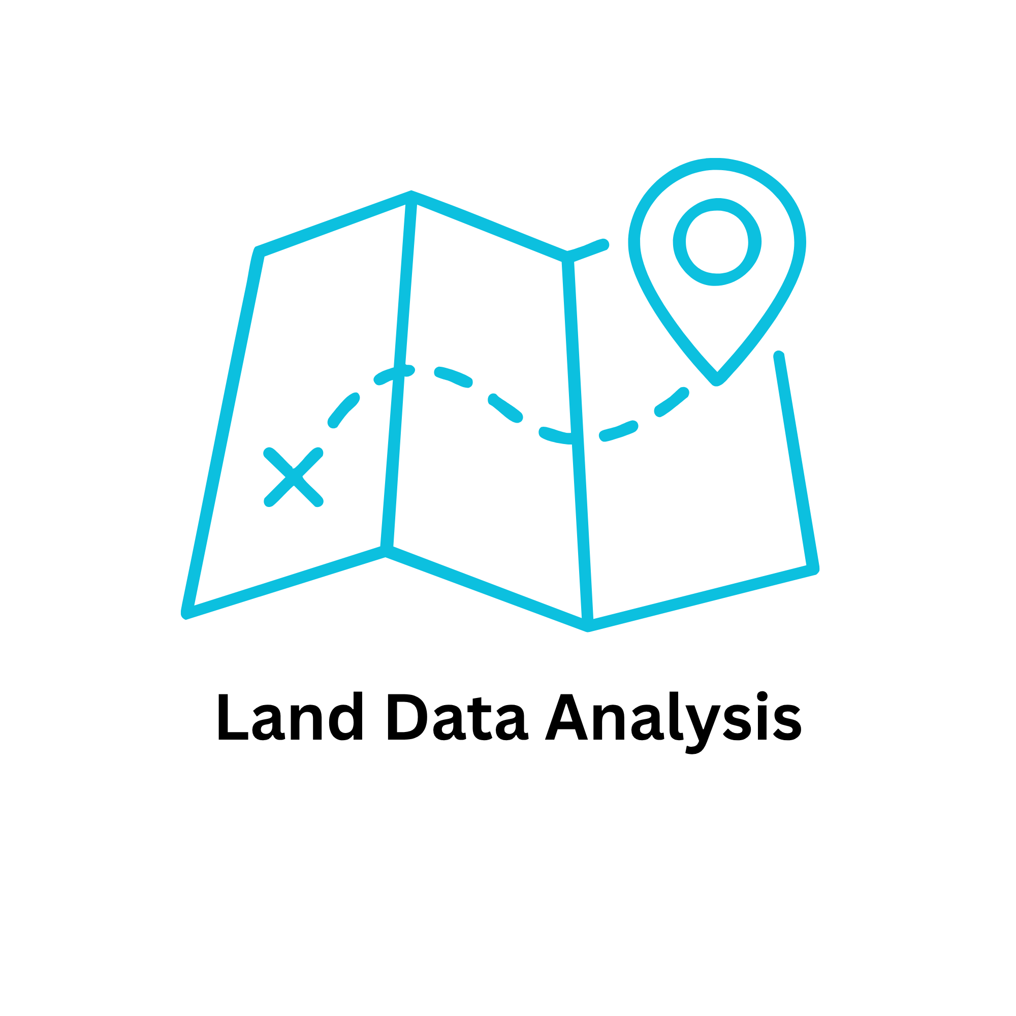
iLands transforms raw field data into meaningful environmental insight through its rule-based scoring system. By analyzing captured attributes—such as water regime, vegetation, soil conditions, and observed species—the app generates indicators like Wetland Health, Fire Susceptibility, and Carbon Storage. This structured, transparent approach ensures that every score is grounded in real field inputs, enabling users to quickly understand land conditions and make informed decisions without needing complex analysis tools.
To enhance this understanding, iLands integrates publicly available map layers from sources such as environmental and natural resource agencies. Users can overlay data like wildfire activity, fire weather indices, and habitat layers directly onto their collected field data, providing critical context that goes beyond what is observed on-site. By combining on-the-ground intelligence with broader environmental datasets, iLands delivers a more complete, decision-ready view of the land.
Field Cellular Camera Integration
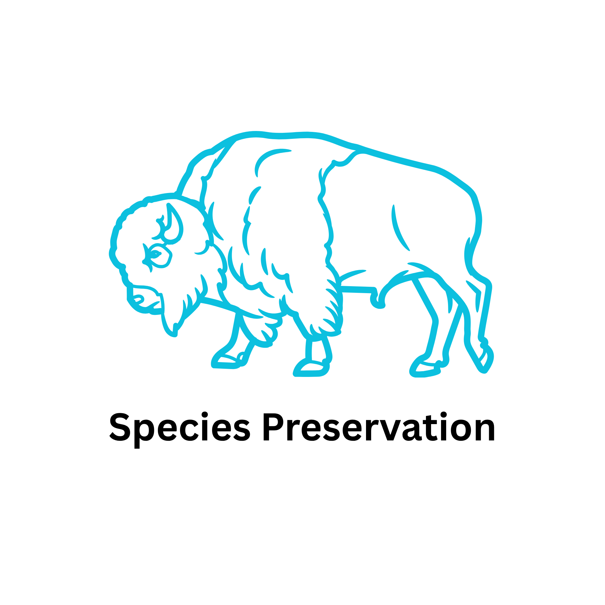
iLands extends field monitoring beyond manual observation by integrating with deployed cellular cameras to automatically retrieve images captured in remote environments. These images are centralized within the app, allowing users to view, organize, and analyze wildlife activity without needing to physically access each camera location—significantly reducing time, cost, and field effort.
To further streamline analysis, iLands leverages the Apple Vision Framework to intelligently filter out empty images and highlight those containing wildlife. This on-device processing ensures faster, more efficient image review, enabling users to focus only on meaningful data. The result is a smarter, scalable approach to wildlife monitoring—turning large volumes of raw imagery into actionable insights for conservation and land management.
Integration with other Prominent GIS tools
iLands is designed to work seamlessly within existing GIS ecosystems through its export and share capabilities. Field data collected in the app can be easily exported into widely used formats such as GeoPackage and Shapefile, ensuring compatibility with industry-standard tools like ArcGIS and QGIS. This allows users to move from mobile data capture to advanced spatial analysis without friction, preserving both data integrity and structure.
Beyond export, iLands enables efficient data sharing across teams and organizations. Users can generate reports and datasets directly from the field and distribute them for collaboration, compliance, or further analysis. By bridging mobile-first data collection with established GIS workflows, iLands ensures that insights gathered on the ground can scale into broader, enterprise-level decision-making.
Use Cases